Annual Trout Rodeo
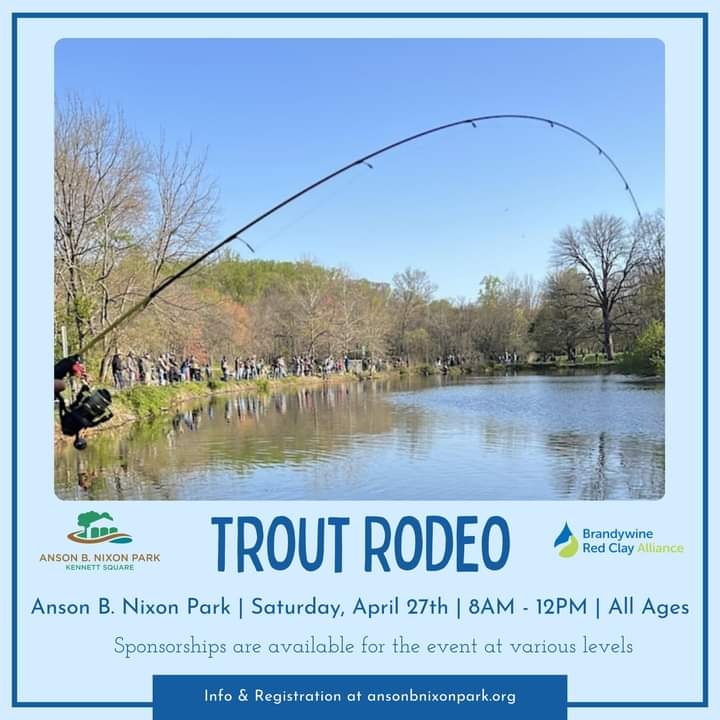
The Anson B. Nixon Park Annual Trout Rodeo will be held Saturday, April 27th from 8 a.m.-12 p.m. For more information and tickets, please click here.
The Anson B. Nixon Park Annual Trout Rodeo will be held Saturday, April 27th from 8 a.m.-12 p.m. For more information and tickets, please click here.

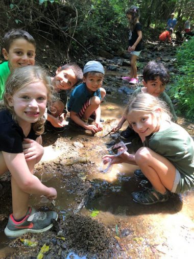
Please visit our Summer Camp 2024 page for more information.
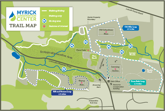
The 318-acre Myrick Center contains trails for walking and horseback riding as well as areas for picnicking, bird watching and enjoying the natural environment.
The Anson B. Nixon Park Annual Trout Rodeo will be held Saturday, April 27th from 8 a.m.-12 p.m. For more information and tickets, please click here.
Please visit our Summer Camp 2024 page for more information.
The 318-acre Myrick Center contains trails for walking and horseback riding as well as areas for picnicking, bird watching and enjoying the natural environment.
The association plays an important role in the watershed and the work we do is making a measurable difference in the cleanliness and protection of this valuable water resources. One of the reasons that we love this area is due to the rich cultural and historical heritage.